Friedrich Wilhelm Kolbe completes an English-Otjiherero dictionary.
Christian Baumann moves to Otjimbingwe.
Rhenish missionary Wilhelm Eich joins his older brother Friedrich Eich to become a missionary in Otjosazu (1889-1891) and Otjozondjupa (1891-1904).
After 13 years missionary work the Finnish Missionary Society manages to baptise the first people of the Ondonga area.
The Englishman Radford is still the only "white" in Angra Peque±a (now called Fort Vogelsang) who lives permanently there.
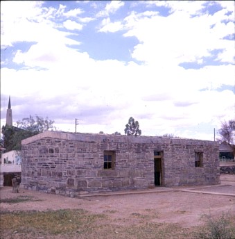
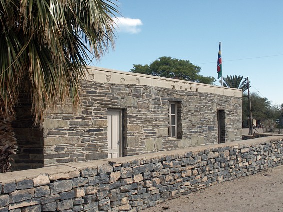
Bethany: Chief Frederik's House: Karas Region
Copyright of Photos: Dr. Klaus Dierks


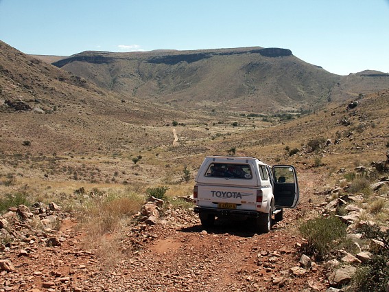

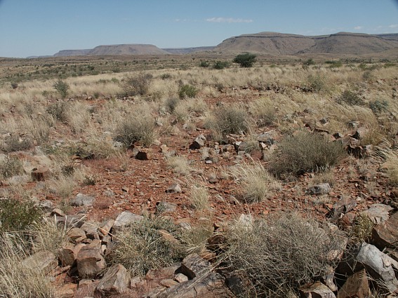
On a Search Trail for new Pre-colonial Ruins in the Great Karas
Mountains: From Narudas via Witkrans, Garies to Sandmund: Karas Region: April 2003
Copyright of Photos: Dr. Klaus Dierks

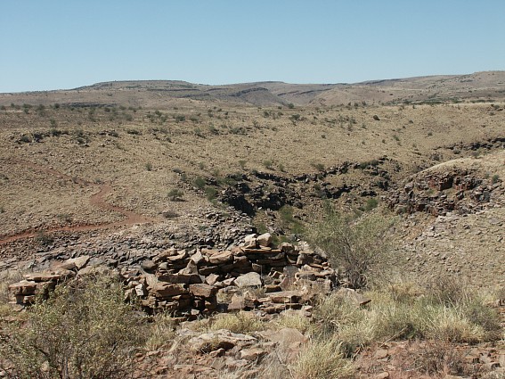
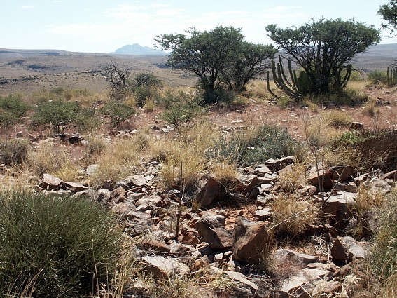
Pre-colonial Ruins in the Great Karas Mountains: Garies Possible
Watch Tower over a Waterhole in a Riverbed: In the Background: Garies Hill with numerous
Ruins: Karas Region: April 2003
Copyright of Photo: Dr. Klaus Dierks
Pre-colonial Ruins in the Great Karas Mountains: Garies Possible
Watch Tower over a Waterhole in a Riverbed: Karas Region: April 2003
Copyright of Photo: Dr. Klaus Dierks

Pre-colonial Ruins in the Great Karas Mountains: Sandmund: In
the Background: Narudas Poort: Karas Region: April 2003
Copyright of Photo: Dr. Klaus Dierks
Pre-colonial Ruins in the Great Karas Mountains: Sandmund: View
to the South: Karas Region: April 2003
Copyright of Photo: Dr. Klaus Dierks


Recently discovered Precolonial Nama Ruins: Top of the Great
Karas Mountains: View to the South: Garies Hill: Possible Secret Fortress built by Jakob
Marengo: Found: April 2003
Copyright of Photo: Dr. Klaus Dierks

Precolonial Nama Ruins: Top of the Great Karas Mountains: Garies
Hill: View to the Southeast: To the Narudas Poort: Garies: April 2003
Copyright of Photo: Dr. Klaus Dierks
Precolonial Nama Ruins: Top of the Great Karas Mountains: Garies
Hill: View to the West: With Lord Hill (Schroffenstein: Highest Peak in the Great Karas
Mountains) in the Background: Garies: April 2003
Copyright of Photos: Dr. Klaus Dierks